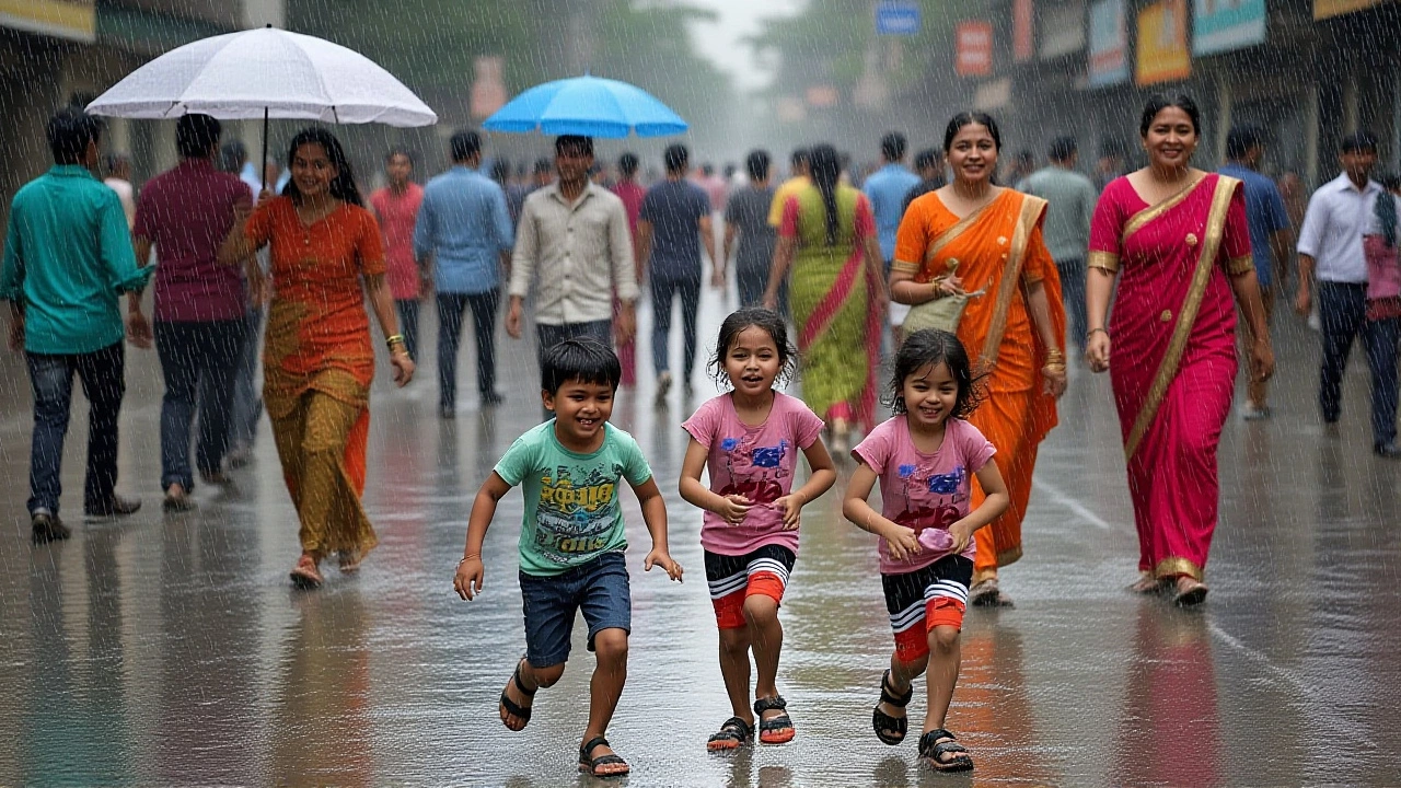
When India Meteorological Department issued a heavy rain alert for eastern and northern India on 3 October 2025, residents from Kolkata to Delhi braced for sudden downpours and flooding risks.
The alert, released just after the Navratri festivities, warned of “intense, short‑duration thunderstorms” across several states. In West Bengal, the coastal districts of Purba Medinipur and South 24‑Parganas are expected to see up to 120 mm of rain in a six‑hour window. Bihar and Odisha face similar threats, with riverine areas already reporting water‑level rises of 0.8 m.
Rain‑hit Regions and Immediate Risks
In the east, the IMD’s warning is anchored in a low‑pressure system forming over the Bay of Bengal. Satellite imagery on 2 Oct showed cloud tops dipping below 2 km, a classic sign of convective storms. The department’s forecast model predicts a "triple‑attack" — gusty winds, localized thunderstorms, and heavy rainfall — hitting the coastal belt between 14:00 and 18:00 IST.
Farmers in Odisha worry that the sudden deluge could wash away newly‑sown paddy seedlings. According to the State Agricultural Department, about 35,000 ha of rice paddies are at risk, potentially translating to a loss of 12,000 tonnes of yield if drainage fails.
- Projected rainfall: 100–130 mm in 6 hours (West Bengal, Bihar, Odisha)
- River level rise: up to 0.8 m in major tributaries
- Potential agricultural loss: 12,000 tonnes of rice in Odisha alone
- Population under immediate flood watch: ~4.2 million
Delhi‑NCR Under a Yellow Alert
Meanwhile, the national capital region is gearing up for a different kind of drama. The IMD placed Delhi, Noida, Gurugram and surrounding cities under a Yellow Alert for 6 October. The warning signals “moderate to heavy rain with thunderstorms possible”.
"We expect a rapid rise in humidity, reaching 78 % by late afternoon, followed by isolated thundershowers," said Dr. Ramesh Kumar, senior meteorologist at India Meteorological Department. "A triple‑attack scenario — gusts >60 km/h, lightning, and heavy rain — could briefly disrupt traffic and power lines," he added.
Historically, October in Delhi records an average temperature range of 26 °C to 36 °C, with only 7 mm of rain spread across the month. The city normally enjoys 11.9 sunshine hours per day, making the current outlook a stark deviation.
Local authorities have already begun pre‑emptive measures: the Delhi Police issued advisories for commuters, the Municipal Corporation announced extra garbage‑bin clearances to prevent waterlogging, and the Delhi Metro posted a contingency plan for possible service delays.

Impact on Daily Life and Safety Measures
Commuters in the NCR can expect slower traffic on the Yamuna Expressway and potential grid‑lock at the Delhi‑Gurgaon corridor. The Delhi Traffic Police warned that “visibility could drop below 100 m during peak thunderstorms”.
Air quality, already hovering at a moderate level of PM2.5 ≈ 85 µg/m³, may improve temporarily as rain‑washed particulates settle, but the accompanying humidity could aggravate respiratory discomfort for asthmatics.
Fishermen along the Bay of Bengal have been urged to keep their vessels anchored at least 5 km offshore until the system weakens. The Marine Fisheries Department of Odisha issued a press release stating that “any fishing activity within the 3‑nm safety zone will be prohibited until 7 October”.
Historical Context and Seasonal Trends
October is traditionally a transition month in India, shifting from monsoon to post‑monsoon dry spells. However, climate‑change models from the Indian Institute of Tropical Meteorology (IITM) suggest an uptick in late‑season cyclonic activity. Between 2000 and 2020, the frequency of October cyclonic depressions over the Bay of Bengal increased by 18 %.
In 2022, a similar heavy‑rain event struck West Bengal, leaving 12 dead and inundating over 90 km of highway. The 2022 incident prompted the state government to invest ₹3.5 billion in improved drainage infrastructure, a project still ongoing.

What to Expect in the Coming Days
Looking ahead, the IMD’s 48‑hour outlook suggests the low‑pressure system will drift north‑west by 8 October, pulling cooler, drier air over the northern plains. By 10 October, most of the Yellow Alert zones are expected to downgrade to a Green Alert, indicating “no immediate hazards”.
Still, residents should stay tuned to local bulletins, especially in flood‑prone zones of Bihar’s Kosi basin, where “river breaching remains a real possibility”, cautioned a spokesperson from the Bihar Disaster Management Authority.
Frequently Asked Questions
How will the heavy rain affect commuters in Delhi‑NCR?
Traffic on major arteries such as the Delhi‑Gurgaon BRT and the Ring Road may slow to 20–30 km/h during thunderstorms. The Delhi Metro has warned of possible service suspensions on the Yellow Line between 14:00 and 18:00 IST. Commuters are advised to use alternate routes, keep emergency kits in their vehicles, and follow real‑time traffic updates.
What safety steps should fishermen take off the Bay of Bengal?
The Marine Fisheries Department recommends anchoring vessels at least 5 km from shore and avoiding any fishing activity within the 3‑nautical‑mile safety zone until the system weakens, which is expected by 7 October. Fishermen should also keep radio contact with coastal stations for real‑time weather updates.
Why is October experiencing more late‑season rain than in the past?
Research from the Indian Institute of Tropical Meteorology links the rise to warmer sea‑surface temperatures in the Bay of Bengal, which fuel stronger convection. Climate models project a continued increase in October depressions, making such alerts more frequent in the coming decade.
What measures are authorities taking to prevent flooding in Bihar?
The Bihar Disaster Management Authority has pre‑positioned sandbags along vulnerable stretches of the Kosi and Ganges rivers, mobilized 12 rescue teams, and issued evacuation advisories for low‑lying villages. They also urged residents to keep emergency kits ready and stay away from riverbanks during peak rainfall.
Will the heavy rain affect agricultural output this season?
In Odisha, the sudden deluge threatens up to 12,000 tonnes of rice, especially in the Nuapada and Kalahandi districts where water‑logging can kill seedlings. However, the rain could benefit wheat fields in Uttar Pradesh by providing needed moisture before harvest, balancing overall regional crop yields.

Write a comment